

Moosejaw Radio: Part 2: The James Bay Road
Moosejaw Radio
Chapter 2 : The James Bay Road (Billy Diamond Highway)
Moosejaw Radio is a lighthearted, sometimes informative, blog about living and traveling in the 21st Century while navigating a progressively digital planet in real time. The author uses an informal voice to discuss the juxtapositions between contemporary geographies and the myriad histories which enrich them.
Writer James Kerns has worked as a restaurateur, bicycle messenger, sculpture, commercial fisherman, designer, builder, and consultant, who has traveled the globe by boat, bus, rail, plane, and bicycle. His passion for people and geography, and the cultures and histories which bind them, provide the foundations from which his stories are drawn.

In this Chapter:
- We decide just how far we want to drive
- The James Bay Road aka The Billy Diamond Highway
- Henry Hudson was Here - and here - and here...
- So were the Cree (and they still are!)
- Moosejaw Radio: An origin story
We decide just how far we want to drive
My wife does not like getting into a car unless it can be driven as far as it can go. So when she looks at Hudson Bay she’s thinking: a) northern Manitoba, and b) polar bears. Unfortunately, it turns out that you really can’t get there from here, without taking a 48-hour train ride from Winnipeg to Churchill anyway, because no roads go there. Obviously, there are massive GTFO points involved in a 48-hour train ride across the Canadian Prairie, BUT it’s a 24-hour drive just to get to Winnipeg, including driving through Minnesota (the long way), and Wisconsin (the long way), states you don’t just get to 99-bottles-of-beer-your-way through. And that reminds me that we should have a quick primer on mile markers, in bullet form of course:
Rules of The Road Regarding Mile Markers
- Counting always begins at the state line in the south
- Mile marker numbers always get larger as you travel east or north
- When a major highway or Interstate originates inside a state, the numbering begins from the junction where the road begins
- They’re not mile markers in Canada, but they do add up faster
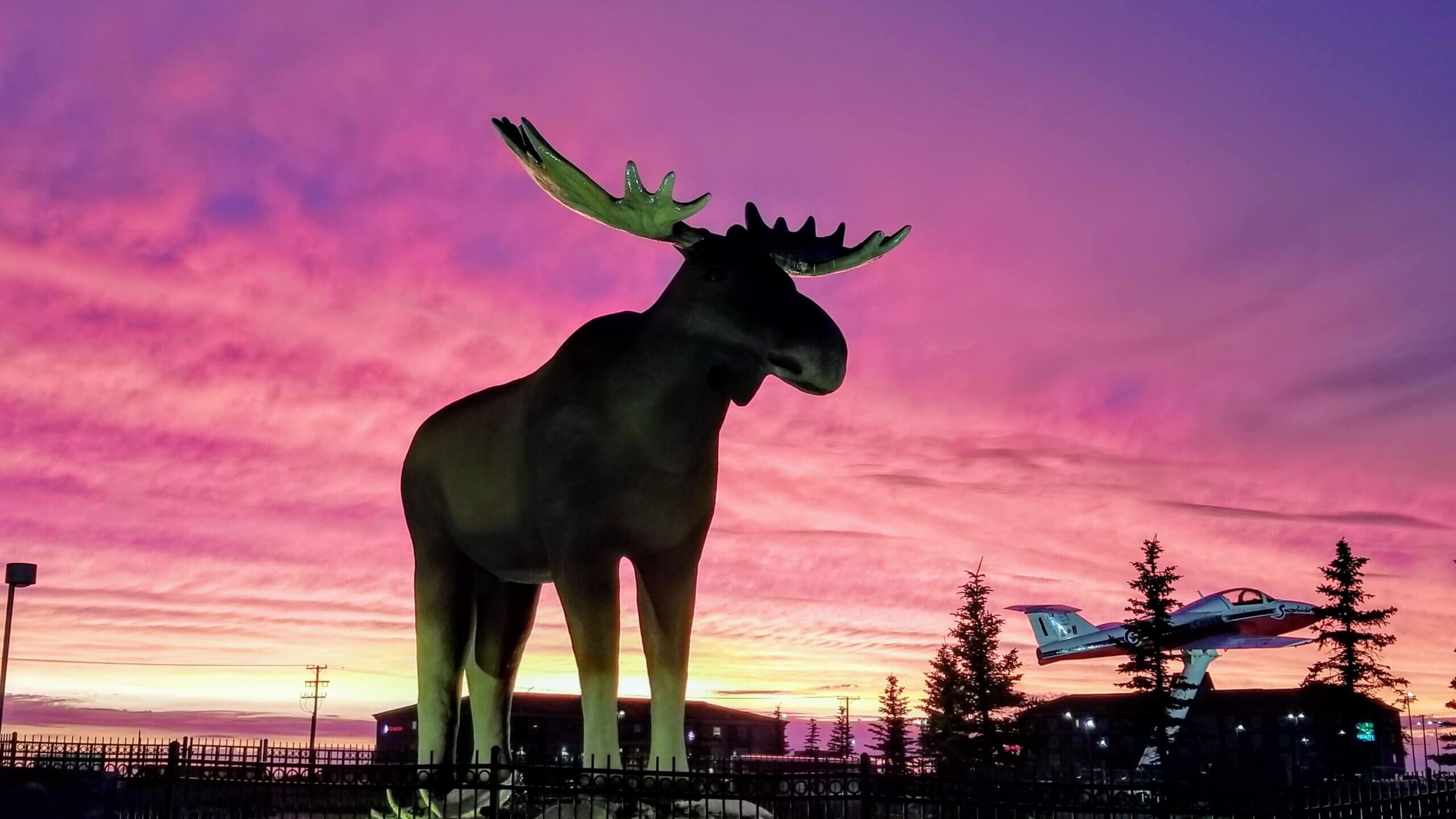
The James Bay Road / Billy Diamond Highway
Then my wife discovered something called the James Bay Road, a 325 mile (620 kilometer) road through an area which their own website describes as “A remote land of extreme distances,” with notable features such as:
- The longest service-free stretch of road in Canada (236 miles)
- The farthest (point) from a town or road in North America (462 miles)
- The farthest north you can drive in eastern North America
- The largest municipality in the world (135,136 square miles – Eeyou Istchee James Bay Regional Government)
In addition to all of this, we found out that there were several extant Cree villages on the route, including a small island with the Cree settlement of Fort George at the northernmost drivable point.

Henry Hudson was Here
Both James Bay and Hudson Bay, and the routes and territories which lead to them were primary staging areas for the Europeans charged with the discovery and exploitation of the newly discovered land and all its natural resources. Among the exploitable resources were the original occupants of those lands, including the Cree, Ojibwe, Ottawa, Algonquin, Mohican, Haudenosaunee, and Inuit peoples among many others. What drew the Europeans to the land was exactly what had attracted the native North Americans: fur, and lots of it.
So were the Cree (and they still are)
Originally searching for a shortcut to the more lucrative Asian spice realms in the East, a series of European adventurers left their marks and names all over the maps of North America. Failing to find a viable route to Asia via the fabled Northwest Passage, the Europeans pivoted to focusing on the abundance of rich animal furs they had been acquiring through trade with many indigenous communities along the eastern seaboard and the interior. In a perverse twist of irony, once the native North Americans discovered the depth of the Europeans' desire for fur, they became unwitting, albeit enthusiastic, participants in the destruction of their own habitats and communities. The Cree were early trading partners of the English, and the former sites of HBC trading posts on the east side of James Bay are where several Cree villages still stand today.
Considering the distance and volatility of the terrain ahead of us, we decided to lease a sturdy black GMC Terrain and started packing. Our girls are both too young to consider malaise, or most other things French, but were already very accustomed to long drives. Over their short lives we had conditioned them to sit in cars for hours at a stretch by packing copious art supplies and over-stuffed food bags, making frequent stops, and inventing endless games we’d cycle through while driving.
Moosejaw Radio
One well-remembered game we employed for hours on end was Moosejaw Radio. Loosely structured in radio variety-show format (think Garrison Keillor in exile with a $10 budget), Moosejaw Radio became a raucous, sprawling series of monologues and fake interviews we launched into whenever there was no signal of any kind available in remote Canada. And that was often. I know what you're thinking BUT:
- It was not a title meant to poke fun at our northern brethren.
- I am referring to it as "well-remembered" because while it was not necessarily always well-received, it was hard to forget...like malaria.
- Make that zero budget.
So our family was more or less habituated to road trips and all the shenanigans those long miles engender. After several hours explaining how remote northern Canada can be just as exciting as the beach, we were all looking forward to exploring the James Bay Road en route to Hudson Bay. Or at least we were all more resigned to it.
NEXT: Moosejaw Radio PART III: Ottawa Baby, Ottawa! Previous